When You Need a Land Survey
What does a Land Surveyor do for me?
Published as a public service by the Professional Land Surveyors of Colorado, Inc.
Professional Land Surveyors of Colorado, Inc., founded in 1966 and incorporated in 1981, is an organization dedicated to the improvement of the profession of Land Surveying and the education of the public about the profession. We are affiliated with the American Congress on Surveying and Mapping and the National Society of Professional Surveyors, and are a member of the Western Federation of Professional Surveyors. The PLSC takes an active role in shaping educational programs and legislation in Colorado, and our members subscribe to high standards of ethics, professional conduct, and protection of the public welfare.
- What can a professional land surveyor do for me?
- Protect your investment
- What is a professional land surveyor?
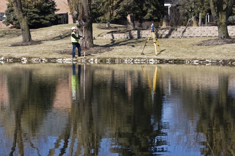
- What is a land survey?
- What is a boundary?
- How are boundaries created?
- When should I have my land surveyed?
- How do I authorize a land survey?
- How much will a survey cost?
- Duties of the professional land surveyor